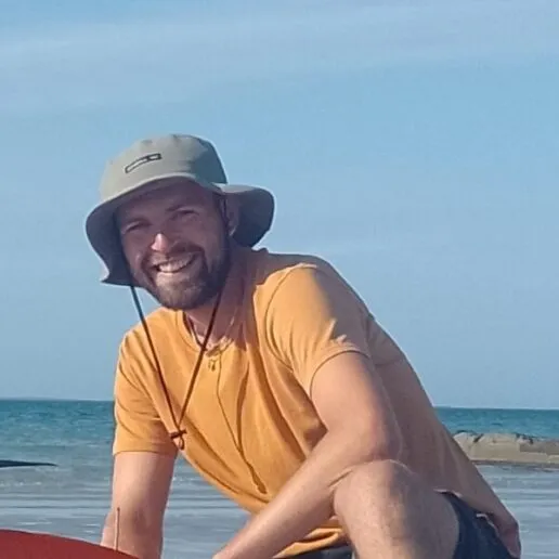
Joe Boyle is a research assistant, focusing on integrating ecological monitoring, participatory mapping, and remote-sensing techniques to support nature recovery initiatives that embed human and ecological perspectives. At LCNR, Joe contributes to interdisciplinary projects that bring together ecology, education, community engagement, and technology: helping to map where people and nature interact so that Nature Recovery efforts are both inclusive and effective.
Before joining the Centre, Joe spent several years working in outreach, engagement and land management roles at organisations such as RSPB Scotland, equipping him with practical experience in co-designing nature-based education and restoration partnerships. He moved to Oxford for an MSc, exploring seagrass mapping in Orkney through the fusion of satellite imagery and local ecological knowledge. He has worked in research and teaching across the university, focused on where people, place, and ecology connect.
With a rich background bridging science, place-based learning, the arts, and community collaboration, Joe is passionate about advancing nature recovery strategies that support biodiversity, human wellbeing and societal equity.
Related Research Themes

Society
Encompassing the governance and socio-cultural dimensions of nature recovery.